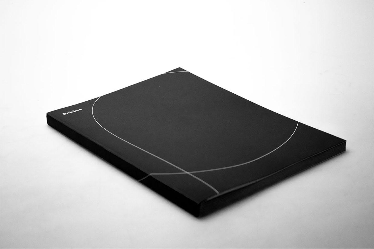
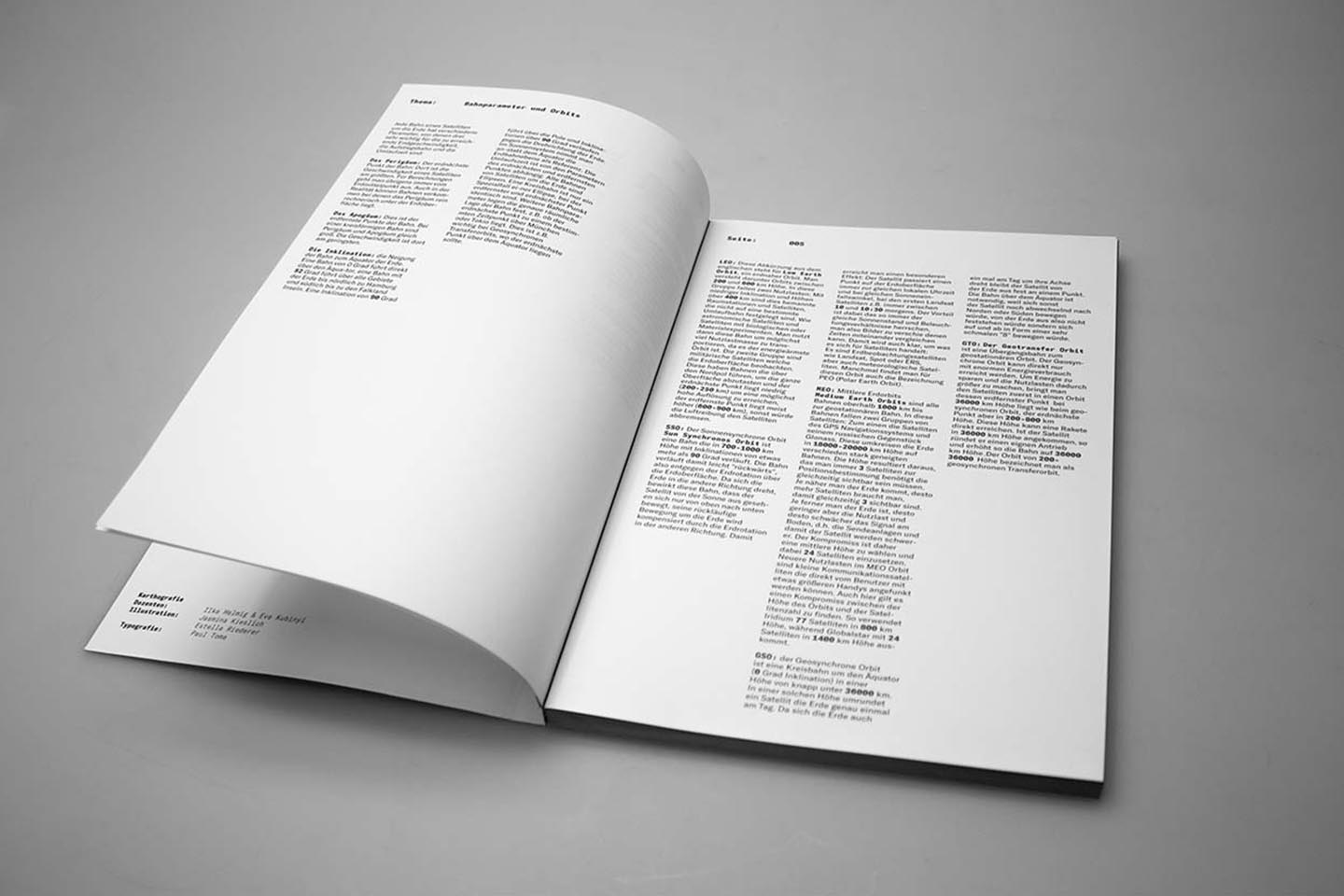
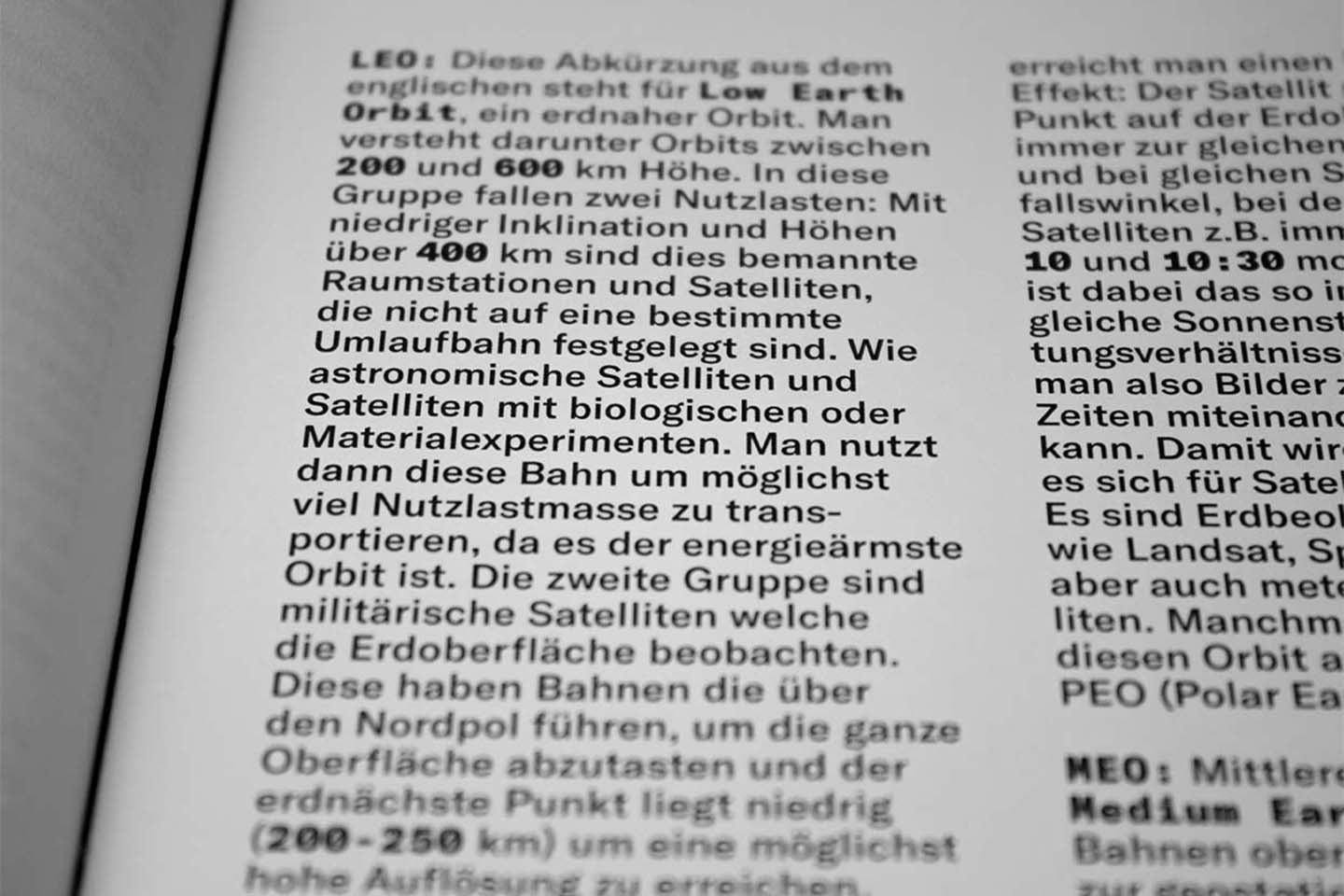
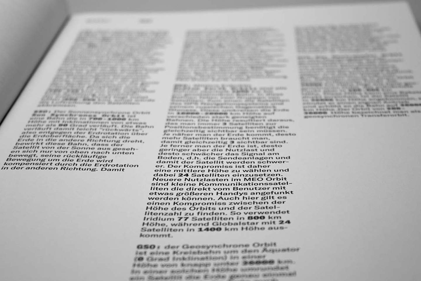
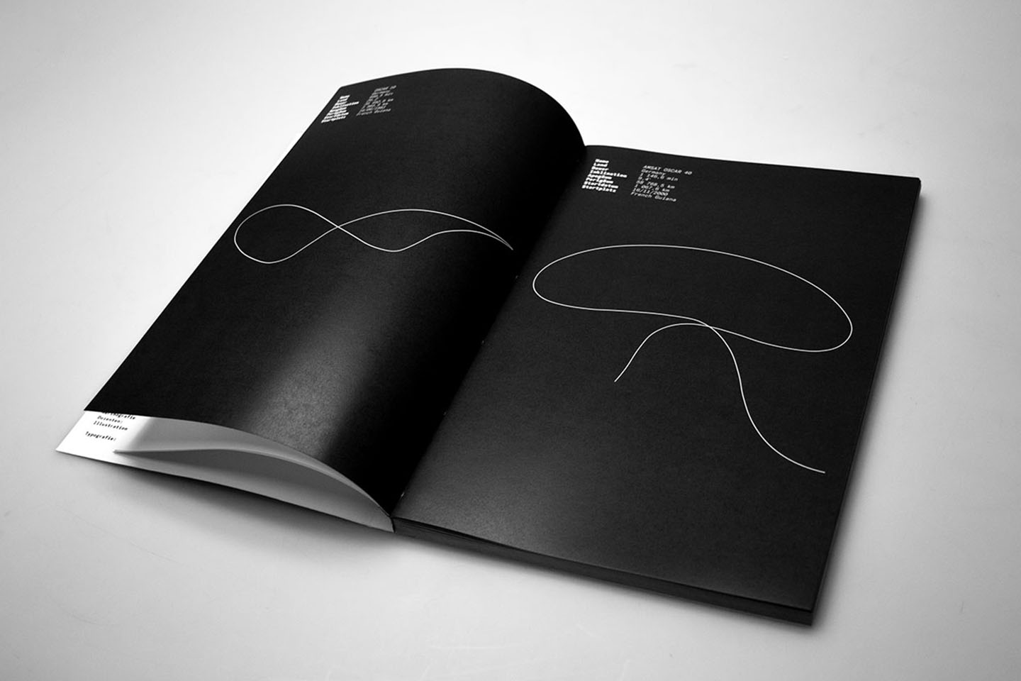
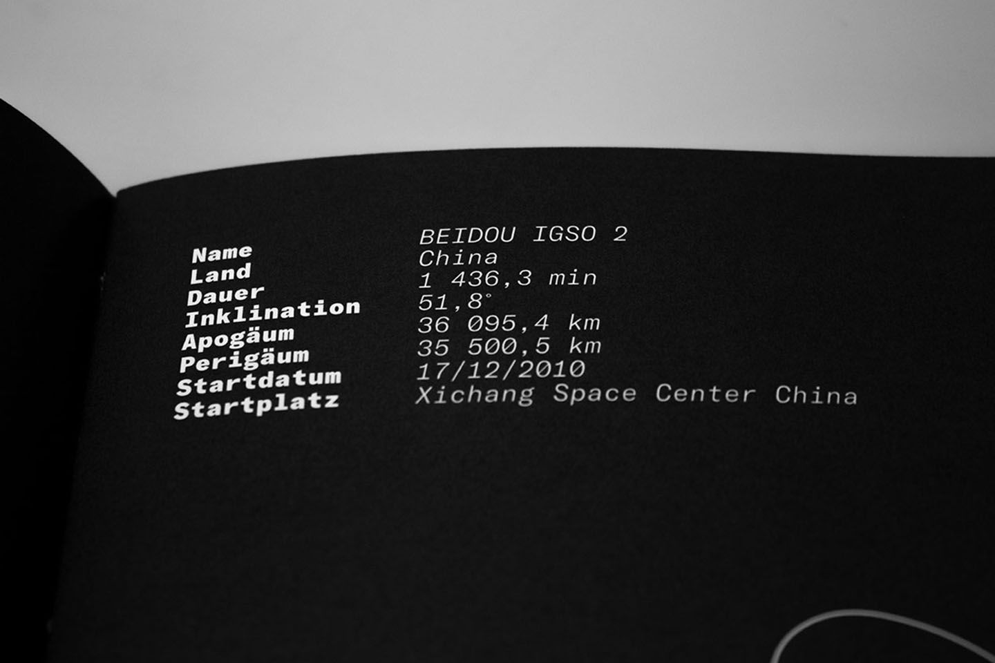
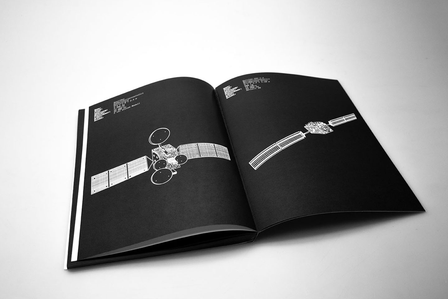
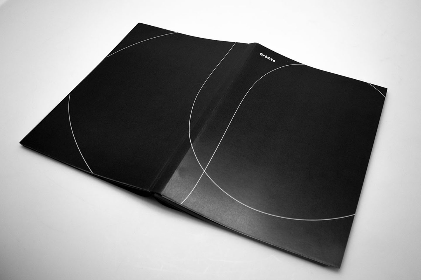
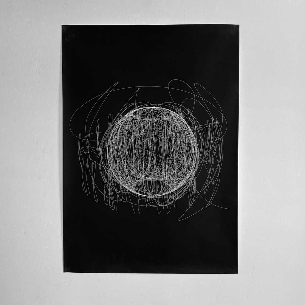
As a cartographic project, Orbits maps the trace of satellites around our planet. One of the mediums is a catalogue that shows more than 120 different orbits with their respective data. Besides that, it contains data and illustrations about the various types of satellites that orbit the earth. For the map itself we overlapped all the collected orbits, to show the trace of humanity in space. As an AR feature the user can see the overlapped orbits of certain states, which creates a visual representation of various countries beyond Earth.
